Road– urban or rural– design can be a tricky subject to get right, despite the simplistic appearance. The engineers have to consider multiple factors such as guideline compliance (REAM, ATJ 2015 or to some extent, AASHTO), cost consideration, soil condition and the impact on the ecosystem. The designed road must be pleasing to drive at, it must not disturbed..
Frequently we receive such inquiries from our users. Often when our users– who are consultants– present their earthwork quantity results, their clients would come up with an alternative figure. Often, the clients will just present a single number, with no..
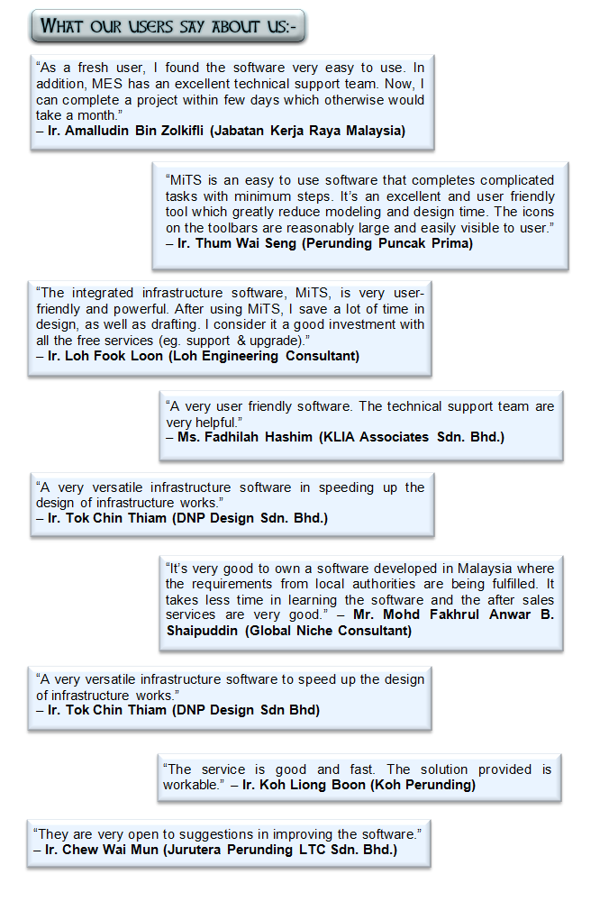
How do you differentiate yourself as a consulting engineer?
With more and more civil engineers entering the workforce–one estimate is that around16K new graduatesare produced yearly (about 50% of them are civil engineers), and with more and more engineering firms set..
Imagine in a meeting, you just happily present the output of MiTS software for the infrastructure design. You show the earthwork levels you design, the keyplans, the drainage longitudinal cross section, the predevelopment watershed analysis and the 3D view to your client, architects, other fellow engineers and quantity surveyors. It seems that everyone is extremely engaged and towards the end, it looks like you are making the greatest…
Watershed is the area where the flows from higher point drains all the water running to a common outlet. It combines with other watersheds forming network of stream that all drain into larger body of water, such as lakes and oceans. Topography..
As professional engineers, we all want our civil works design to be professional– safe and developed within a reasonable budget. We also want to produce our design fast so that we can make a good impression with our ever demanding clients.
And on top of it, we want to ensure that our team– regardless of how junior they are– can be as productive and as diligent as the most senior person.
Handling long stretches of rural road projects can be quite a challenge. The engineers could be receiving ground-level information in the form of hundreds of thousands if not millions of survey points–courtesy of LIDAR data or data from Google Earth import– from the surveyors. And on top of that the engineers will have to design a long stretch of roads ranging from 20 km, which could result in many tens of thousands of platforms (or mesh triangles).